 Episode
· 01:13
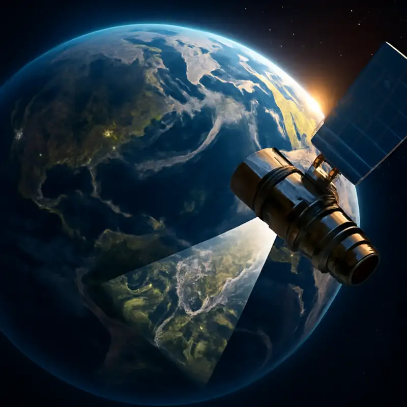
Welcome to this week’s science and technology update. It started with a tweet. In 2019, President Trump posted what looked like a top-secret surveillance photo of an Iranian missile site. The image was so sharp that enthusiasts quickly concluded it must have come from one of America’s ultra-secret spy satellites. Today that kind of detail isn’t limited to governments. Commercial operators already offer images with 30-centimetre resolution, enough to “read the letters on a bus.” And within a few years, a new generation of private microsatellites and advanced imaging techniques promises to push resolution down towards ten centimetres—enough to spot a parked car’s license plate.
Regulators in Washington are scrambling to update export rules, worried that “spy-satellite-grade” photos will soon be available to anyone with an internet connection. But industry experts say sharper, faster, cheaper imagery will revolutionize disaster relief, farming and urban planning, even as it raises fresh questions about privacy and security. Stay tuned as the era of truly accessible, high-resolution satellite imaging takes off.
Link to Article
Listen to jawbreaker.io using one of many popular podcasting apps or directories.