 Episode
· 01:48
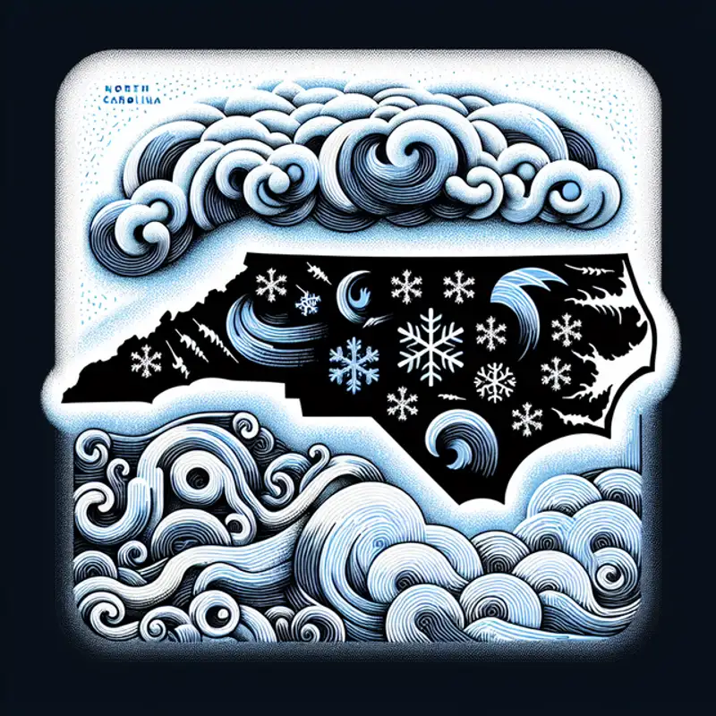
A significant winter storm is set to hit North Carolina mid-week, with forecasts indicating a mix of snow and icy conditions that could affect travel across the state. The storm, which has already dissipated over the Western U.S. and is now being tracked via weather balloons collecting crucial data, is expected to begin after 9 or 10 a.m. Wednesday. Areas north of Interstate 40 could see several inches of snow, while regions south might experience an icy mix, potentially leading to power outages if ice accumulations reach 0.25 inches. The forecast remains delicate due to even minor temperature shifts or changes in the storm's path that could alter precipitation types by short distances. Officials are monitoring the storm closely with an emphasis on travel disruptions, and first-call maps with more detailed totals are expected to be released Monday afternoon.
Key Points:
Why did the winter storm break up with its weather app? It just couldn’t handle the mixed messages!
Link to Article
Listen to jawbreaker.io using one of many popular podcasting apps or directories.